Wasserkuppe Summit Radar Dome Panorama
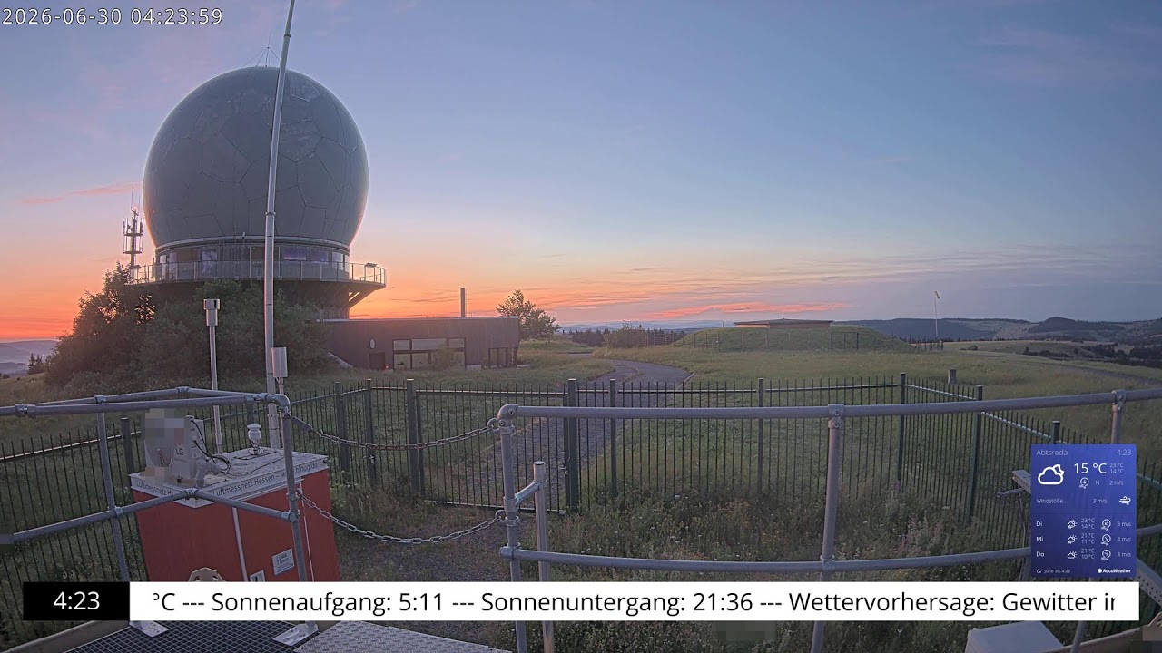
OnlineSweeping eastward panorama from the Wasserkuppe, the highest summit of the Rhön mountains and all of Hesse. The unmistakable white radar dome rises above the open grassland, while rolling green ridges and distant hills stretch toward the horizon. A commanding highland vista from one of central Germany's most iconic peaks.
About This Webcam
Everything you need to know about this live stream
The Roof of the Rhön
At 950 metres, the Wasserkuppe is the loftiest point of the Rhön Mountains and the highest peak in the German state of Hesse. Its broad, treeless plateau gives this eastward panorama an exceptionally open sweep across the rolling uplands of central Germany.
The Iconic Radar Dome
The white spherical radome dominating the view is the summit's most recognisable feature — a former air-traffic and weather radar station that has become an unofficial emblem of the entire Rhön region.
Cradle of Gliding
The Wasserkuppe is celebrated as the birthplace of gliding, where soaring flight was pioneered in the early twentieth century. Its wide grassy slopes and reliable thermals still draw glider pilots and visitors from across Europe.
A Highland Landscape
Surrounding the plateau lies the Rhön Biosphere Reserve, a mosaic of open meadows, heathland and distant wooded ridges. This vantage captures the expansive, windswept character that makes the summit a favourite destination for hikers and nature lovers.
Location Details
Wasserkuppe
Fulda, Kassel, Hesse, Germany
Europe
Timezone
Berlin
Europe/Berlin (UTC+2)
GPS Coordinates
50.4981°, 9.9379°
Current Weather
© Open-MeteoInteractive Map - Wasserkuppe Area

LIVE CAM
Click to Interact
Explore the interactive map
Similar Webcams
Explore other exciting destinations in the same or related category