Wanggong Port & King's Bow Bridge
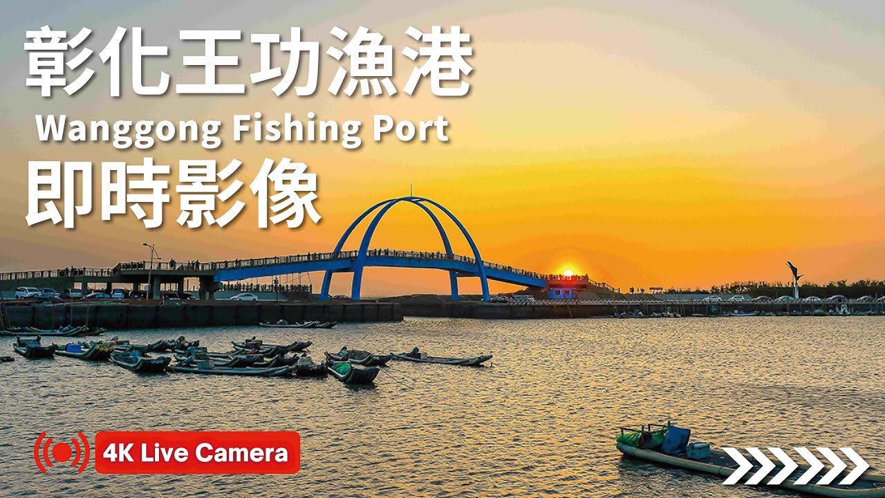
OnlineThis 4K camera overlooks Wanggong Fishing Port on Taiwan's central coast, framed by the soaring steel arch of the King's Bow Bridge. Flat-bottomed sampans and oyster boats work the shallow tidal flats, while the surrounding mangroves and intertidal wetlands shelter egrets, mudskippers and fiddler crabs. The award-winning bridge, shaped like a great egret in flight, anchors one of Changhua's most photographed coastal landmarks.
About This Webcam
Everything you need to know about this live stream
A Working Fishing Harbor
Wanggong Fishing Port sits on the intertidal coast of Changhua County, where flat-bottomed sampans ferry oysters back to shore on the rising tide. The surrounding shallows are a celebrated oyster-farming ground, and the exposed mudflats reveal mudskippers, fiddler crabs and clams buried in the silt.
The King's Bow Bridge
Spanning the harbor mouth, the King's Bow Bridge (王者之弓橋) is a striking steel arch whose geometry evokes a great egret spreading its wings. Its name plays on the local place name Wanggong, and its design — celebrated for the interplay of light, wind and human scale — earned the international Far Eastern Architecture Award.
Lighthouse & Wetlands
Beyond the bridge stands the black-and-white striped Fangyuan Lighthouse, an octagonal beacon guiding vessels along the coast. The restored mangrove forests nearby form a thriving wildlife classroom where egrets and other waterbirds nest among the tidal channels.
A Coastal Landmark
Together the port, bridge and wetlands make Wanggong one of central Taiwan's most beloved coastal destinations, drawing photographers, birdwatchers and visitors exploring the rich ecology of the Changhua shoreline.
Location Details
Wanggong Fishing Port
Wanggong Village, Fangyuan Township, Changhua County, Taiwan
Asia
Timezone
Taipei
Asia/Taipei (UTC+8)
GPS Coordinates
23.9690°, 120.3245°
Current Weather
© Open-MeteoInteractive Map - Wanggong Fishing Port Area

LIVE CAM
Click to Interact
Explore the interactive map
Similar Webcams
Explore other exciting destinations in the same or related category