
Takeshiba Pier & Bay Panorama
OnlineThis elevated view sweeps over Takeshiba Pier on the Tokyo Bay waterfront, where passenger ships rest beside a curving stretch of the Shuto Expressway. Beyond the looping roadway, the dense skyline of central Tokyo rises across the water, framing one of the capital's busiest harbor junctions.
About This Webcam
Everything you need to know about this live stream
A Waterfront Transit Hub
Takeshiba Pier sits on the Minato City shoreline, where sightseeing and inter-island ferries dock alongside barges and tugboats in a sheltered canal. The pier has long served as a gateway between central Tokyo and the islands of Tokyo Bay.
The Shuto Expressway Loop
A sweeping ramp of the Shuto Expressway curls directly above the waterfront, carrying traffic in a graceful arc as it threads between office towers and the water's edge. The elevated structure is one of the defining engineering features of this stretch of Tokyo Bay.
Central Tokyo Across the Water
Beyond the pier, the dense skyline of central Tokyo unfolds across the river mouth, its high-rises and landmark towers forming a layered backdrop to the harbor activity below.
Location Details
Takeshiba
Kaigan, Minato City, Tokyo, Japan
Asia
Timezone
Tokyo
Asia/Tokyo (UTC+9)
GPS Coordinates
35.6543°, 139.7627°
Current Weather
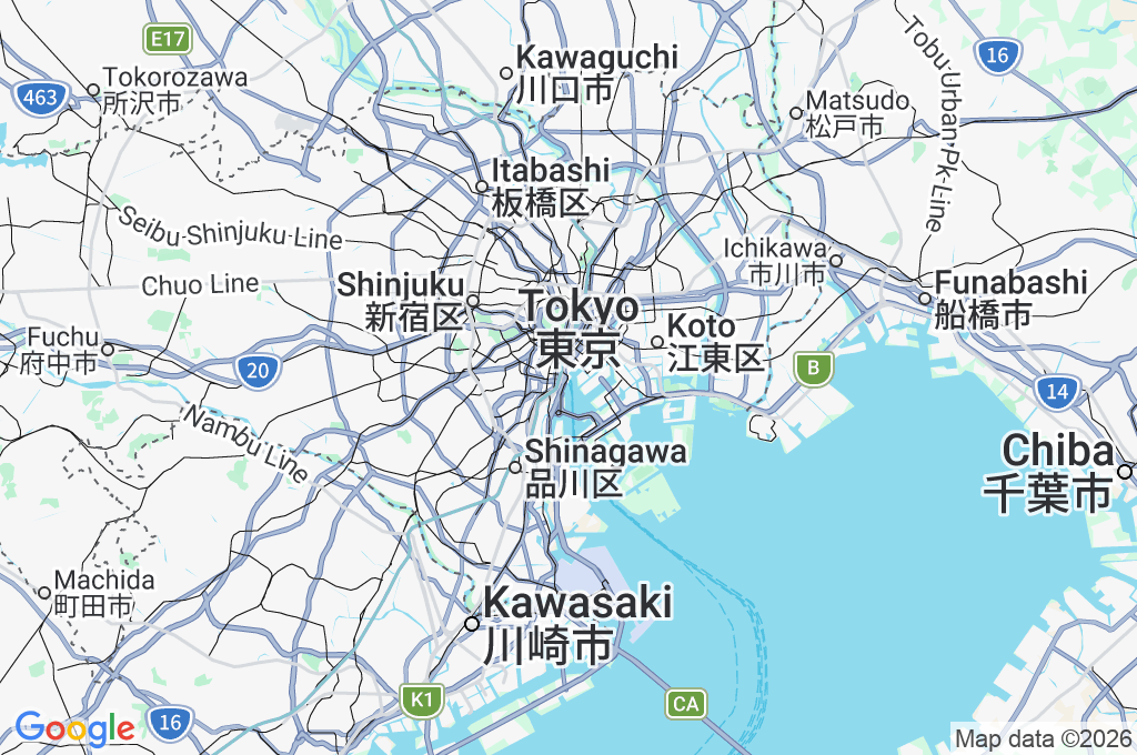
© Open-MeteoInteractive Map - Takeshiba Area
LIVE CAM
Click to Interact
Explore the interactive map
Similar Webcams
Explore other exciting destinations in the same or related category