YouTube
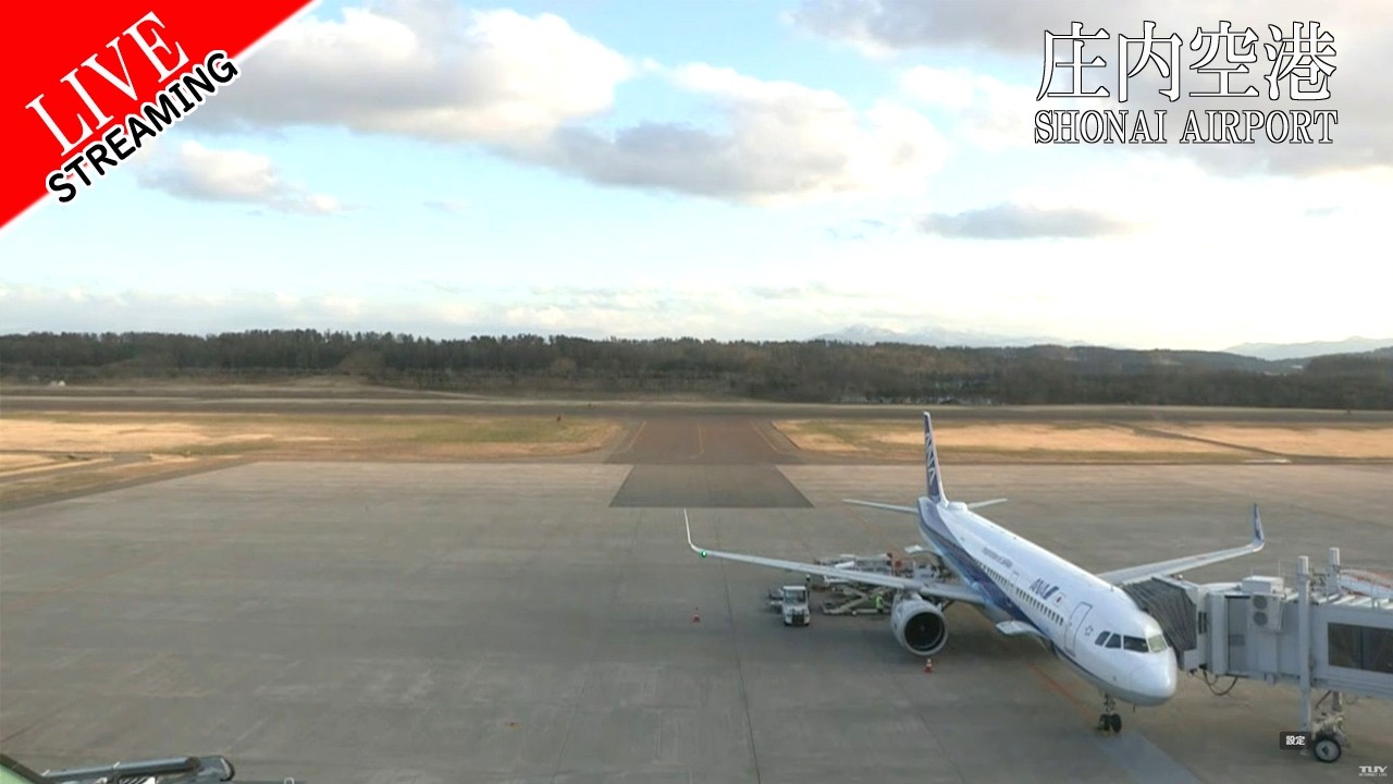
A wide, level view down the single runway of Shonai Airport, the regional gateway serving northern Yamagata. The broad concrete apron stretches into the foreground while a wooded tree line and the distant Dewa mountains close the horizon beyond the threshold. Watch for the steady rhythm of regional turboprops and jets lining up, taxiing and lifting off across the open Shonai Plain.
Everything you need to know about this live stream
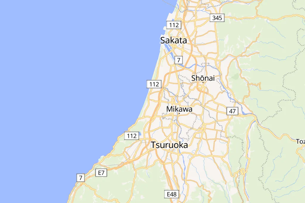
Shonai Airport sits on the coastal plain near Sakata, linking the rural Shonai region of northern Yamagata with Tokyo and Sapporo. This camera looks straight down the field's single paved runway, giving a clear line of sight from the apron to the far threshold.
The schedule is built around regional turboprops and narrow-body jets. Patient viewers catch arrivals on final approach, departures rolling for takeoff, and ground crews positioning aircraft on the broad concrete apron in front of the terminal.
Beyond the runway, a band of forest gives way to the rolling Dewa mountains, while the wide, uninterrupted sky over the Shonai Plain frames every movement. It is a quiet, scenic vantage as much as an aviation feed.
The airport is a convenient entry point for travellers heading to Mount Haguro and the sacred Dewa Sanzan peaks, the port city of Sakata, and the wider rice-growing countryside of coastal Yamagata.
Click to Interact
Explore the interactive map
OpenFreeMap · © OpenMapTiles · © OpenStreetMap contributors (ODbL)
Explore other exciting destinations in the same or related category
 tuy6ch