YouTube
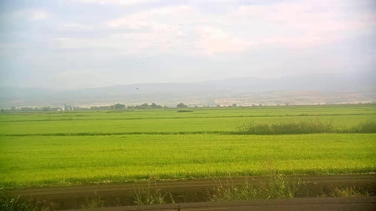
This working rice landscape in the Sacramento Valley reveals the steady rhythm of Northern California agriculture across every growing season. Vast, level paddies stretch toward distant foothills, forming one of the region's most vital habitats for migratory waterfowl and shorebirds. Managed by the Western Canal Water District, these ricelands double as a sanctuary for wildlife long after each harvest.
Everything you need to know about this live stream
This camera looks out over the ricelands of Northern California, part of the flat, fertile floor of the Sacramento Valley where the Western Canal Water District delivers irrigation water across roughly 60,000 acres. Level checkerboard paddies stretch to the horizon, bounded by farm roads and framed by distant foothills, showing agriculture as it has been practiced here for generations.
Beyond growing rice, these working fields double as critical habitat for waterfowl and shorebirds moving along the Pacific Flyway. Flooded paddies mimic the wetlands that once covered the valley, drawing enormous concentrations of ducks, geese, and wading birds during their seasonal migrations — a rare opportunity to watch wildlife thrive alongside modern farming.
Across the year the same fields cycle through flooding, planting, growth, and harvest, each stage reshaping the view. The Western Canal Water District maintains this webcam to showcase how carefully managed irrigation sustains both a productive agricultural economy and one of California's most important wildlife landscapes.
Click to Interact
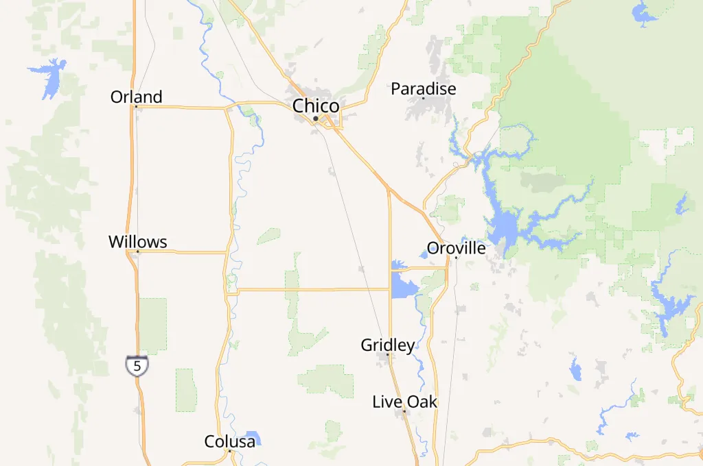
Explore the interactive map
Explore other exciting destinations in the same or related category
 Western Canal Water District