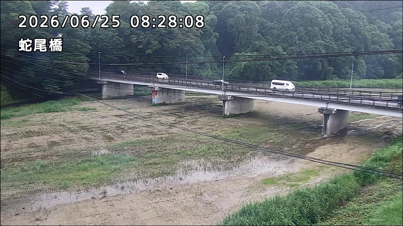
Sabi Bridge over the Sabi River
OnlineThe Sabi Bridge stretches across the broad gravel bed of the Sabi River in Ōtawara, a flood-monitoring vantage maintained by the city. Slender concrete piers carry the roadway over the braided channel, while grassy banks and streamside vegetation frame the tranquil watercourse as it threads through northern Tochigi's plain.
About This Webcam
Everything you need to know about this live stream
The Sabi Bridge
The Sabi Bridge (蛇尾橋) carries a local road across the wide riverbed, its row of concrete piers marching over the channel. The structure links the neighbourhoods on either bank and offers a clear, elevated line of sight along the watercourse.
The Sabi River
The Sabi River (蛇尾川) is known for its braided, gravel-strewn course, with water that often runs shallow and shifting across a broad bed. It drains the foothills of northern Tochigi before joining the larger river system of the Kanto Plain.
River Monitoring by the City
This disaster-prevention camera is operated by the City of Ōtawara to watch water levels and the state of the channel. Such feeds give residents and officials a direct view of the river, an important safeguard in a region threaded by fast mountain-fed rivers.
The Tochigi Setting
Surrounding the bridge, the open riverside corridor of Ōtawara spreads across the northern Kanto Plain, with the foothills of the Nasu highlands rising not far upstream. The scene captures the everyday character of this inland Japanese city and its river.
Location Details
Sabi Bridge
Shiroyama, Otawara, Tochigi, Japan
Asia
Timezone
Tokyo
Asia/Tokyo (UTC+9)
GPS Coordinates
36.8706°, 140.0343°
Current Weather
© Open-MeteoInteractive Map - Sabi Bridge Area

LIVE CAM
Click to Interact
Explore the interactive map
Similar Webcams
Explore other exciting destinations in the same or related category