YouTube
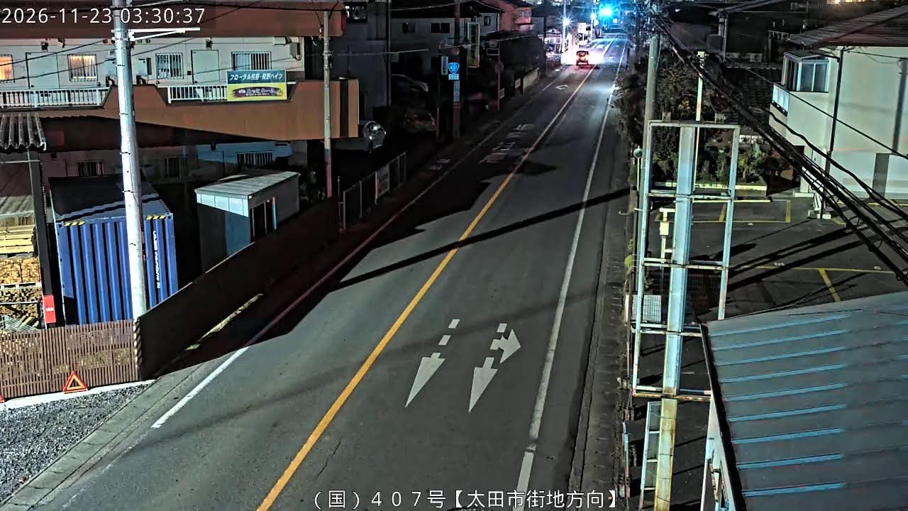
This road camera watches National Route 407 just south of the Oiwake intersection in Kumanocho, Ota, looking down the carriageway toward the city centre. The view follows a two-lane urban road lined with street lamps, roadside shops, homes and overhead cables, a practical check on traffic and road surface conditions.
Everything you need to know about this live stream
The camera stands beside National Route 407 in Kumanocho, a district north of central Ota, a short distance south of the Oiwake intersection. It looks south toward the city centre along a two-lane road with an orange centre line and a guarded footway, low workshops and houses on one side and shops, utility poles and a steel sign tower on the other.
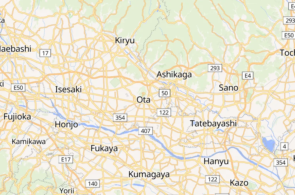
Route 407 runs from Ashikaga in Tochigi Prefecture south through Ota and Kumagaya into Saitama Prefecture, one of the main north-south corridors of the northern Kanto Plain. Through Ota it works as a busy urban artery, carrying commuters, local traffic and delivery vans in and out of the city centre.
Ota is the main city of the Tomo region of eastern Gunma and the home of SUBARU, whose car plants anchor a dense manufacturing belt. Just north of the centre rises Mount Kanayama, crowned by the ruins of Kanayama Castle, one of the best-known mountain castle sites of the Kanto region.
The feed belongs to the Gunma road live camera network for the eastern region, published so that drivers can check traffic flow and road surface conditions before setting out.
Weather data is currently unavailable
Click to Interact
Explore the interactive map
Explore other exciting destinations in the same or related category
 ぐんまの道路ライブカメラ【東部地域】