YouTube
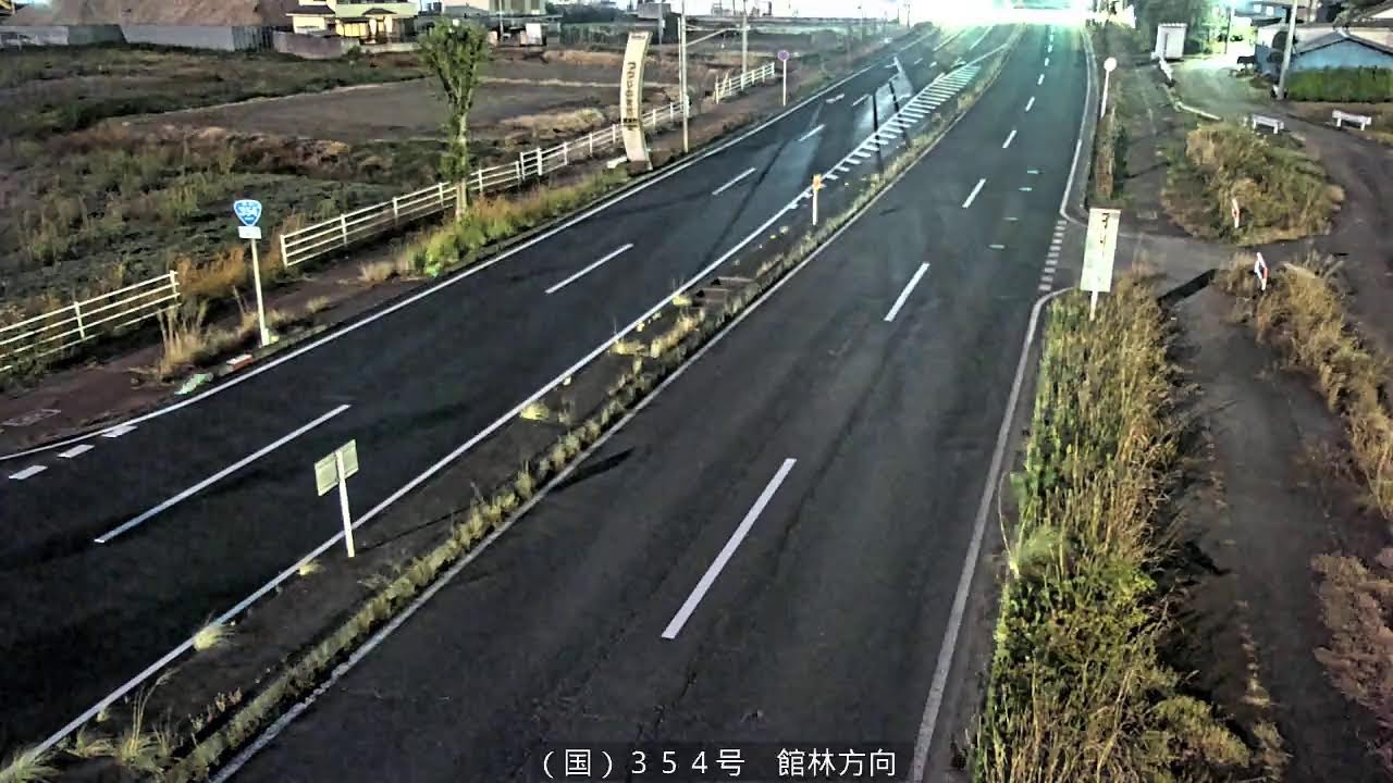
This road camera watches National Route 354 at the boundary between Akabori, Ora and the neighbouring city of Tatebayashi, looking along the carriageway toward Tatebayashi. The view follows a divided dual carriageway with a grassy median, white guardrails beside open farm fields and a blue route shield, a practical check on traffic and road surface conditions.
Everything you need to know about this live stream
The camera stands beside National Route 354 in Akabori, a district of the town of Ora, right where the road passes into Tatebayashi. It looks east toward Tatebayashi along a divided carriageway with a grassy central median, white guardrails and farmland on one side and a verge of tall grass, a side path and utility poles on the other, with the road's blue 354 shield standing at the kerb.
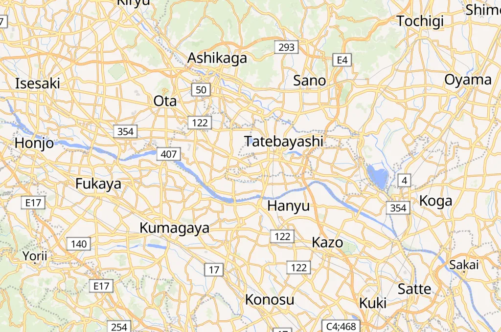
Route 354 is one of the main east-west corridors of the northern Kanto Plain, running from Takasaki through Isesaki, Ota and Tatebayashi towards Ibaraki Prefecture. On this stretch it links the towns of the Ora District with Tatebayashi, carrying a steady mix of commuter cars, local traffic and goods vehicles.
Ora is a small town of the Ora District in the far southeast of the prefecture, set in the flat farmland of the Tomo region north of the Tone River. Just to the east, Tatebayashi is known for the centuries-old azaleas of Tsutsujigaoka Park and for Morin-ji, the temple linked to the folk tale of Bunbuku Chagama.
The feed belongs to the Gunma road live camera network for the eastern region, published so that drivers can check traffic flow and road surface conditions before setting out.
Weather data is currently unavailable
Click to Interact
Explore the interactive map
Explore other exciting destinations in the same or related category
 ぐんまの道路ライブカメラ【東部地域】