Popocatépetl Volcano North Eruption Cam
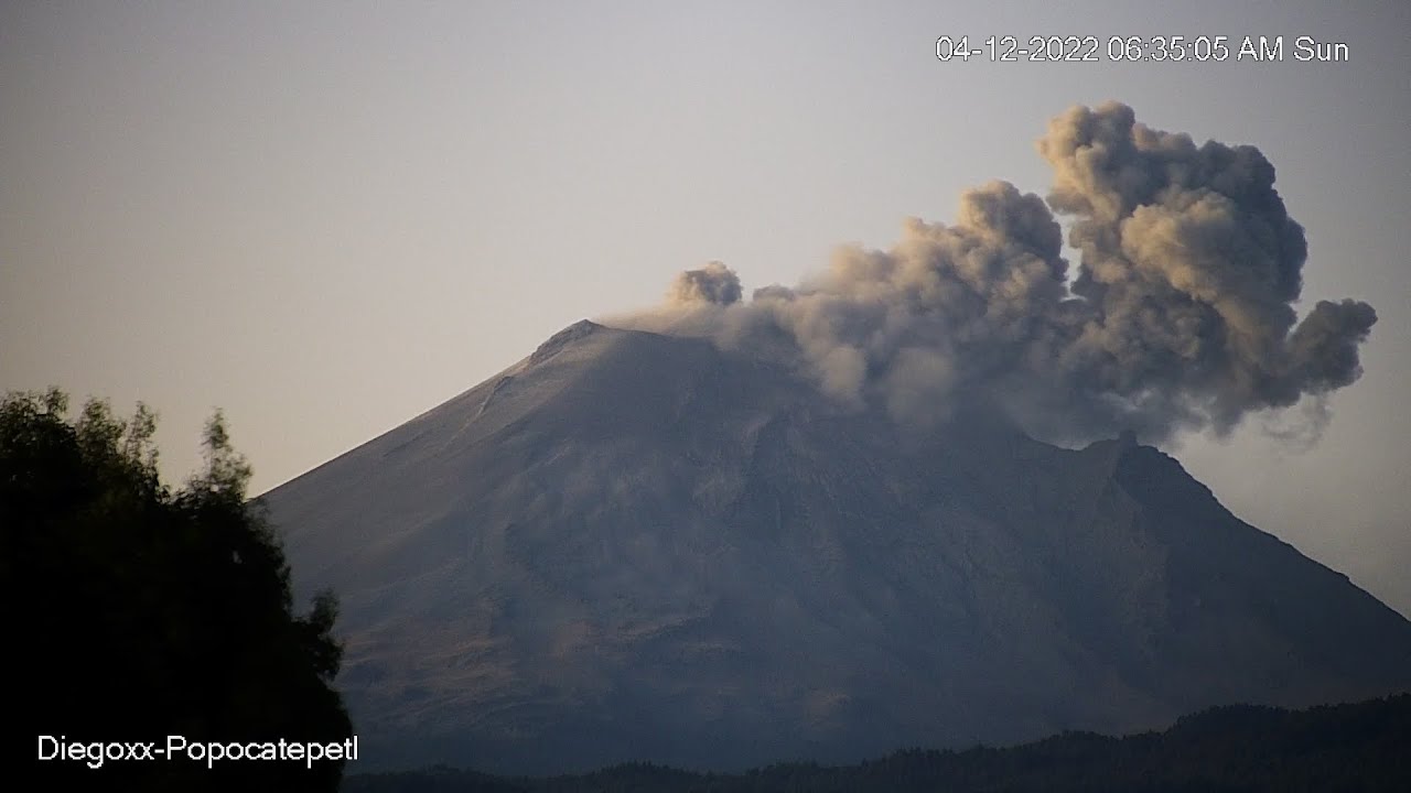
OnlineWatch Popocatépetl, one of the world's most active stratovolcanoes, in this live webcam looking south from San Matías Tlalancaleca on the volcano's northern side in Puebla, Mexico.
This real-time view frames the sharply profiled summit cone and the ash-and-steam plumes that frequently rise above the crater of El Popo.
About This Webcam
Everything you need to know about this live stream
A Living Stratovolcano Above Central Mexico
Popocatépetl rises to 5,393 metres (17,694 ft), making it the second-highest peak in Mexico and one of the most closely watched volcanoes on Earth. Its glacier-streaked summit cone towers over the borderlands of Puebla, Morelos and the State of Mexico, less than 70 kilometres south-east of Mexico City. The name comes from Nahuatl and means "smoking mountain," a fitting description for a volcano that has been in a state of near-continuous unrest for decades.
The Northern View from San Matías Tlalancaleca
This camera looks toward the cone from San Matías Tlalancaleca, a town in the north-west of the state of Puebla, on the volcano's northern flank. Seen from this vantage the summit presents a clean, sharply defined profile that stands out against the wide central-Mexican sky, with the long northern slopes descending toward the high valley below. The angle differs from the southern viewpoints and is well suited to following how the plume drifts northward when prevailing winds carry it across this sector.
Typical Volcanic Activity
Popocatépetl's day-to-day behaviour is dominated by exhalations: emissions of water vapour, volcanic gases and occasional ash that build a plume above the summit. Periods of heightened activity can include incandescent ejections of lava fragments and the slow growth and destruction of lava domes within the crater. Mexico's national monitoring agency tracks the volcano continuously and maintains a graduated alert system to keep nearby communities informed.
Landscape and Surroundings
The slopes of the volcano fall within Iztaccíhuatl–Popocatépetl National Park, a high-altitude protected area of pine forest, alpine grassland and volcanic terrain. Seasonal snow frequently dusts the upper cone, contrasting with the darker rock and ash of the flanks. Together with its neighbour Iztaccíhuatl, Popocatépetl forms one of the most recognisable natural landmarks of central Mexico.
Location Details
Popocatépetl
San Matías Tlalancaleca, Puebla, Mexico
North America
Timezone
Mexico_City
America/Mexico_City (UTC6)
GPS Coordinates
19.0224°, -98.6279°
Current Weather
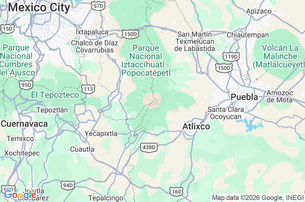
© Open-MeteoInteractive Map - Popocatépetl Area
LIVE CAM
Click to Interact
Explore the interactive map
Similar Webcams
Explore other exciting destinations in the same or related category