
YouTube
Perched above the Kaaimans River valley near Wilderness, this scenic overlook captures a striking natural curiosity: a deep, forested canyon whose sinuous contours have eroded into an uncanny outline of the African continent. Framed by rolling, forest-clad hills of the Garden Route, the view stretches toward the distant coastline and is a favorite launch point for paragliders riding the thermal updrafts off the ridge.
Everything you need to know about this live stream
Over thousands of years, the Kaaimans River has carved a deep, twisting gorge through the sandstone hills above Wilderness, leaving behind a canyon whose silhouette bears an uncanny resemblance to the outline of the African continent. This geological curiosity, known locally as the Map of Africa, has made the overlook one of the most photographed viewpoints on the Garden Route.
From the Wilderness Heights lookout, the vista opens across a patchwork of indigenous forest and fynbos-covered slopes, with the valley floor giving way to distant glimpses of the coastline and the village of Wilderness below. The gravel access road keeps the spot accessible while preserving its quiet, off-the-beaten-path feel.
Across the road from the main viewing platform, a popular paragliding launch site takes advantage of the ridge's reliable updrafts, and pilots can often be seen circling above the canyon on clear days. The combination of dramatic topography and open sky makes this stretch of the Garden Route a magnet for aerial adventurers as well as sightseers.
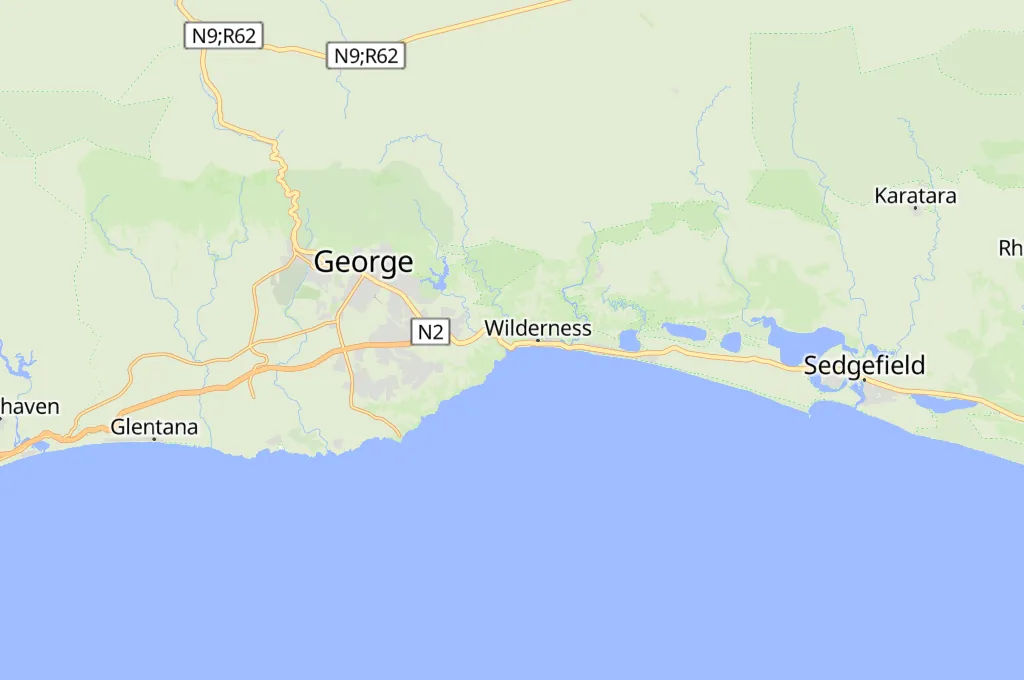
The viewpoint sits between the towns of George and Knysna, at the heart of a region famous for its lakes, lagoons and indigenous forests. This live camera keeps watch over the canyon and surrounding hills, offering a window onto one of South Africa's most distinctive natural landmarks.
Click to Interact
Explore the interactive map
Explore other exciting destinations in the same or related category
 TCS Live