YouTube
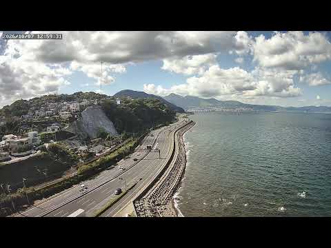
This live camera looks out over Japan's National Route 10 as it hugs the curve of Beppu Bay, with the water opening toward the hot-spring town of Beppu on the opposite shore. Below, a stone breakwater lines the coast while a terraced hillside neighborhood spills down toward the highway, framing a steady stream of traffic along one of Kyushu's most scenic coastal routes.
Everything you need to know about this live stream
National Route 10 is one of Kyushu's principal arteries, linking Oita City with Beppu and the wider coastline beyond. This elevated stretch curves tightly around the shoreline, giving the camera a wide, uninterrupted view of both the roadway and the bay it follows.
A terraced residential neighborhood climbs the slope on the near side, its rooftops layered above the road, while a rugged stone breakwater separates the highway from the open water of Beppu Bay. Across the bay, the outline of the hot-spring city of Beppu traces the far shore.
Positioned above the road, this feed is maintained as a public safety resource, letting residents and travelers keep an eye on wave conditions, road congestion, and other coastal hazards along this stretch of the bay. It doubles as a quiet vantage point over one of the region's busiest transit links.
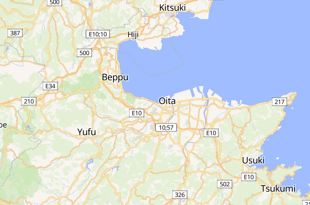
The camera sits in Ikushiminatomachi, a coastal district of Oita City, and takes in the full sweep of the bay from the hills above the highway down to the water's edge — a compact snapshot of how the city, the road, and the sea come together along this part of the Kyushu coast.
Click to Interact
Explore the interactive map
Explore other exciting destinations in the same or related category
 tyann sywei