
Wide Atlantic Sands and Rolling Surf
OnlineA broad sweep of Atlantic sand meets steady breaking surf on the Massachusetts North Shore, with the low beachfront skyline of Salisbury running away to the north. The tide redraws the scene twice a day, widening the flats into a mirror at low water and pushing the breakers up to the dunes at high. Beyond the last cottages the beach carries on toward the New Hampshire line.
About This Webcam
Everything you need to know about this live stream
What you are watching
This camera looks north along Salisbury Beach from the pavilion at the heart of the boardwalk, taking in one of the widest stretches of open sand on the Massachusetts North Shore. The Atlantic rolls in on the right, a long line of beachfront cottages, condominiums and the town water tower marks the dune line on the left, and between them the beach runs on for miles toward Salisbury Beach State Reservation and the New Hampshire border.
Tides, surf and light
The view changes completely with the tide. At low water the sand flats widen into a shining plain that reflects the sky; at high water the surf pushes right up to the soft sand and the breakers stack in neat parallel lines. Nor'easters and passing summer squalls turn the same frame dramatic, while clear mornings give a hard, low eastern light that rakes across the beach.
A classic New England beach town
Salisbury Beach has been a summer destination since the nineteenth century, and the pavilion area behind the camera is the modern heart of it — an arcade-and-seafood boardwalk that fills with families from June through Labor Day. Out of season the same shore belongs to walkers, surfcasters and shorebirds, and the contrast between a crowded July afternoon and an empty January morning is one of the most striking things this view records.
Wildlife and the wider coast
The beach sits just north of the Merrimack River mouth and the Parker River National Wildlife Refuge on Plum Island, so gulls, terns, sanderlings and piping plovers are regular visitors along the wrack line. Offshore, lobster boats and sportfishing craft work the water within sight of the camera on calm days.
Location Details
Salisbury Beach
Essex County, Massachusetts, United States
North America
Timezone
New_York
America/New_York (UTC4)
GPS Coordinates
42.8415°, -70.8163°
Current Weather
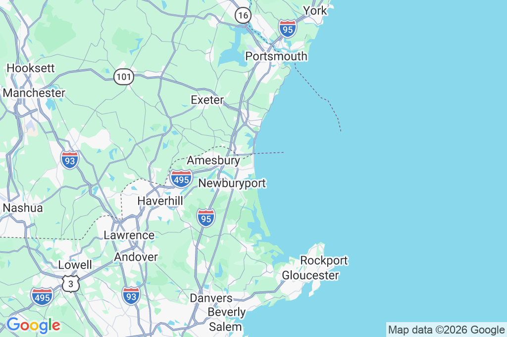
© Open-MeteoInteractive Map - Salisbury Beach Area
LIVE CAM
Click to Interact
Explore the interactive map
Similar Webcams
Explore other exciting destinations in the same or related category