
YouTube
A sweeping elevated panorama looks out across the broad Tama River as it winds past Futakotamagawa, where grassy riverside parkland and baseball diamonds give way to the dense rooftops of southwestern Tokyo. A railway bridge spans the water while the distant city skyline stretches to the horizon.
Everything you need to know about this live stream
From a high vantage point, this camera surveys one of the widest stretches of the Tama River, the great waterway that marks the boundary between Tokyo and Kanagawa. The braided channels and exposed sandbars below give the scene a surprisingly open, natural character in the heart of the metropolis.
The near bank is lined with the expansive Futakotamagawa riverside parks, a popular green corridor of walking paths, sports grounds and baseball diamonds where residents gather to relax and exercise along the water's edge.
A railway bridge carries trains across the river toward the dense urban core, while behind it the sprawling rooftops and towers of southwestern Tokyo rise into a seemingly endless skyline that fades toward the horizon.
This view captures the contrast that defines Futakotamagawa in Setagaya — a leafy riverside retreat set against the relentless scale of the surrounding capital, blending nature, transport and city life in a single frame.
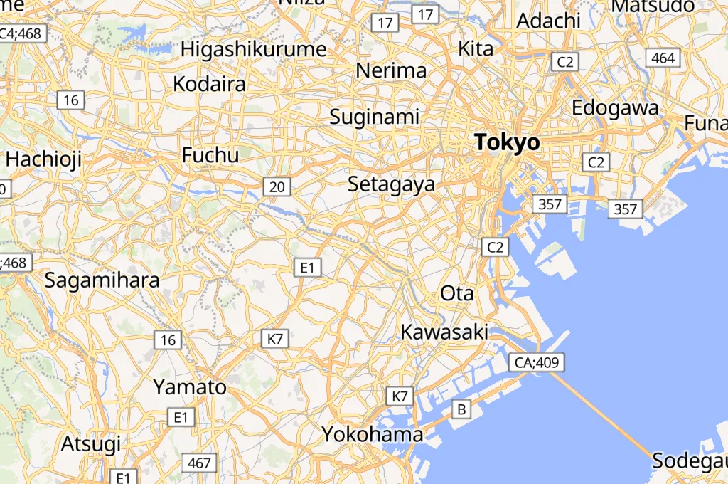
Click to Interact
Explore the interactive map
Explore other exciting destinations in the same or related category
 iTSCOM