YouTube
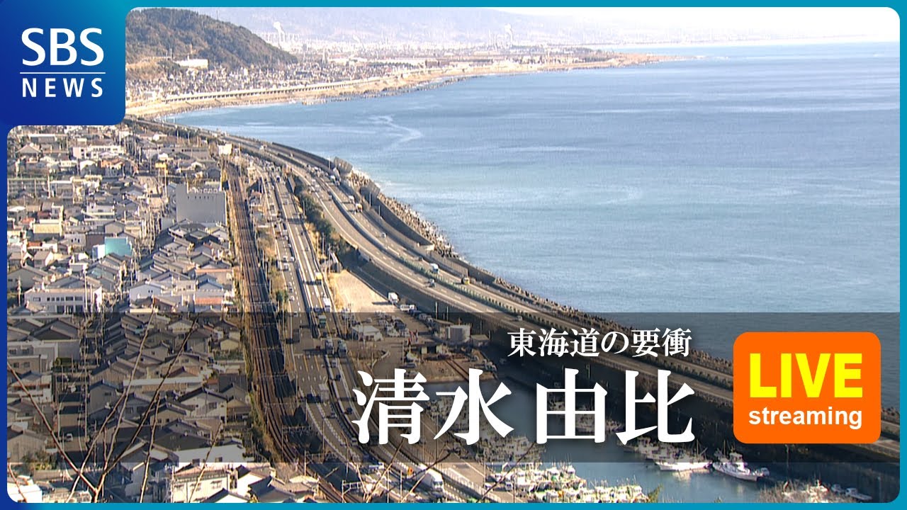
Perched above Satta Pass, this camera frames one of Japan's most storied panoramas — the sweep of Suruga Bay, where the Tomei Expressway, National Route 1, and the JR Tokaido Line all trace the shoreline together. It is the very view immortalized in Hiroshige's ukiyo-e prints of the old Tokaido road, with the terraced hillsides of Yui rising behind an endless procession of traffic along the coast.
Everything you need to know about this live stream
Long before cameras existed, Satta Pass was already famous: Utagawa Hiroshige captured this exact bend of coastline in his Fifty-three Stations of the Tokaido, the woodblock series that shaped how Japan pictures its own landscape. Travelers on the old Tokaido road climbed this same ridge between Shimizu and Yui, pausing at the pass for the dramatic reveal of the bay below.
Suruga Bay plunges to depths of over 2,500 meters, making it the deepest bay in Japan, and its wide arc fills the horizon beneath the camera. On clear days the water stretches toward the Izu Peninsula, while fishing boats out of nearby Yui and Shimizu work the surface far below the overlook.
The narrow shelf of land squeezed between the mountains and the sea carries three of central Japan's busiest routes at once: the Tomei Expressway, National Route 1, and the JR Tokaido Main Line all run side by side along the coast. Watching the steady stream of trucks, cars, and trains thread this single corridor is a vivid illustration of how vital the pass remains to the country's commerce.
Below the pass, the town of Yui, part of Shizuoka City's Shimizu Ward, is known for the citrus terraces that climb the slopes and for a fishing tradition tied to Suruga Bay's famous sakura ebi shrimp. The camera keeps a steady watch over this working coastal corridor, framing daily life against one of Japan's most enduring landscapes.
Click to Interact
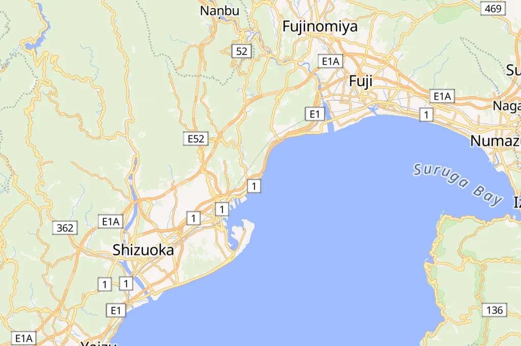
Explore the interactive map
Explore other exciting destinations in the same or related category
 SBSnews6