San Gorgonio Wilderness Ridgeline
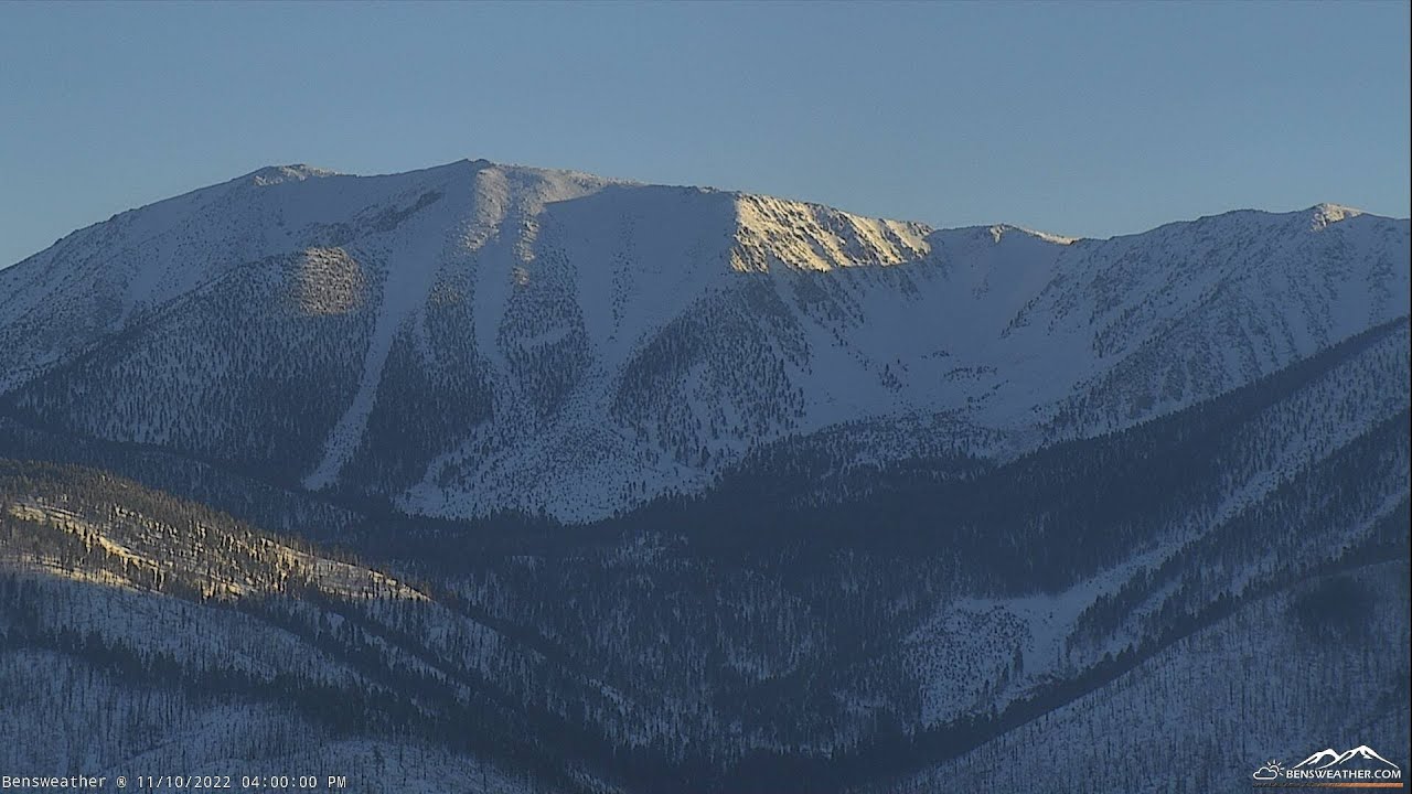
OnlineA sweeping panorama across the rugged San Gorgonio Wilderness, where the highest ridgeline of the San Bernardino Mountains rises above forested canyons. This expansive weather-station view captures the dramatic silhouette of Southern California's tallest peaks, with scattered valley settlements glimmering far below.
About This Webcam
Everything you need to know about this live stream
The Roof of Southern California
This camera frames the San Gorgonio Wilderness, home to San Gorgonio Mountain — at over 11,500 feet the tallest summit in Southern California. The rounded, treeless upper ridges contrast with the deep, forested drainages that fall away toward the Santa Ana River watershed.
A Protected Alpine Wilderness
The federally designated wilderness area shelters ancient limber pines, granite basins and remote meadows accessible only on foot. Its rugged terrain forms a sharp boundary between the arid basin below and the high-country forests above.
A Weather-Watcher's Vantage
Operated as part of a local weather station, this vantage tracks the shifting light and cloud patterns that sweep across the range. The wide field of view makes it a favourite reference for hikers, forecasters and mountain enthusiasts monitoring conditions on the peaks.
Location Details
San Gorgonio Wilderness
Forest Falls, San Bernardino County, California, United States
North America
Timezone
Los_Angeles
America/Los_Angeles (UTC7)
GPS Coordinates
34.1245°, -116.9153°
Current Weather
© Open-MeteoInteractive Map - San Gorgonio Wilderness Area

LIVE CAM
Click to Interact
Explore the interactive map
Similar Webcams
Explore other exciting destinations in the same or related category