YouTube
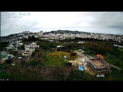
This elevated camera surveys the rooftops and hillsides of Nishihara, a town on Okinawa's main island bordering Urasoe and the southern reach of the island's monorail line. The sweeping panorama takes in the Tedako-Urasoe station area and the surrounding neighborhoods stretching toward the ridge beyond, offering a rare elevated perspective on this fast-changing corner of the island.
Everything you need to know about this live stream
Perched high above the rooftops, this camera looks out across Nishihara, a compact town on Okinawa's main island wedged between Naha and the island's central highlands. The expansive vantage point captures rows of buildings cascading toward the coast, with a low forested ridge forming the horizon.
The scene overlooks the district surrounding the Tedako-Urasoe monorail station, the southern terminus of Okinawa's Yui Rail line and the anchor for an evolving mixed-use district that includes retail and residential development. The area has become one of the island's most dynamic growth corridors in recent years.
Closer to the camera, the Sakata neighborhood spreads out with its intersections, shops, and residential streets, a slice of everyday suburban Okinawan life. Local community facilities and small retail clusters visible from this height anchor the surrounding blocks.
Beyond the built-up foreground, a low ridge of hills rises along the skyline, characteristic of Okinawa's central plateau. The interplay between dense settlement and quiet green slopes captures the island's balance between rapid development and its enduring natural terrain.
Click to Interact
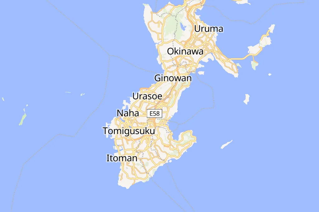
Explore the interactive map
Explore other exciting destinations in the same or related category
 8131 okichan