YouTube
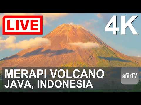
Mount Merapi is one of the world's most active and dangerous volcanoes, rising symmetrically above the border of Yogyakarta Special Region and Central Java, Indonesia. This live webcam offers a continuous real-time view of the iconic Merapi cone, capturing the volcano's ever-changing activity and the lush green forests that cloak its lower slopes.
Everything you need to know about this live stream
Mount Merapi (meaning "Mountain of Fire" in Javanese) is a stratovolcano located on the border of Yogyakarta Special Region and Central Java, Indonesia. Standing approximately 2,930 meters (9,613 feet) above sea level, it is the most active volcano in Indonesia and one of the most dangerous in the world, with recorded eruptions spanning centuries.
Merapi's nearly perfect symmetric cone is characteristic of a classic stratovolcano, built from alternating layers of hardened lava, tephra, and volcanic ash. Its steep upper flanks are composed of bare rock and consolidated pyroclastic material, while the middle and lower slopes support dense tropical vegetation. The summit region frequently generates dome-building eruptions, pyroclastic flows, and lava avalanches that descend its gullied ridges.
Despite the constant volcanic threat, the fertile volcanic soils of Merapi's flanks support thriving agricultural communities and dense tropical forests. The volcano holds deep spiritual significance in Javanese culture, associated with the cosmological axis between the Sultan's Palace in Yogyakarta and the southern sea. The surrounding area is partially protected within Gunung Merapi National Park, sheltering diverse flora and fauna adapted to the volcanic environment.
Merapi is among the most intensively monitored volcanoes on Earth. The Center for Volcanology and Geological Hazard Mitigation (PVMBG) maintains a dense network of seismometers, GPS sensors, tiltmeters, and webcams to detect precursory activity. Major eruptive episodes — including the catastrophic 2010 eruption — have shaped modern volcanic risk management practices across Southeast Asia.
Click to Interact
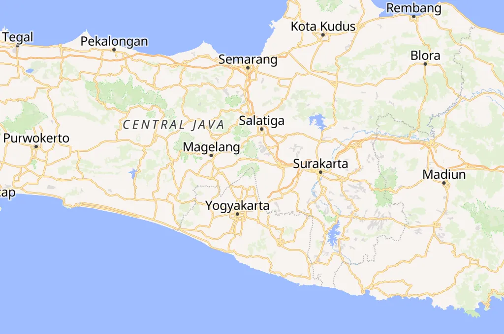
Explore the interactive map
Explore other exciting destinations in the same or related category
 afarTV