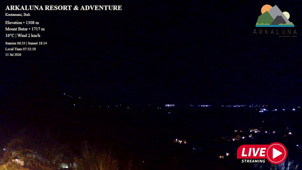
Mount Batur Caldera Panorama
OnlinePerched at 1,308 meters above the Kintamani highlands, this observatory camera surveys the vast Batur caldera, one of the world's largest volcanic basins. Framed by Mount Abang and Mount Agung, Bali's tallest volcano, the sweeping panorama reveals Mount Batur's active cone rising above Lake Batur and the surrounding caldera floor.
About This Webcam
Everything you need to know about this live stream
An Active Volcano in a Giant Caldera
Mount Batur rises to 1,717 meters inside a caldera roughly 13.8 kilometers across, formed by a series of massive prehistoric eruptions. The volcano remains active, its dark basaltic cone standing out against the older caldera walls that ring the basin.
The Kintamani Highlands
The Arkaluna observatory sits on the caldera rim above Kintamani, a highland district famed for its cool climate and panoramic viewpoints. From this elevated vantage, terraced slopes, coffee plantations, and volcanic soil unfold toward the crater below.
Lake Batur and the Sister Peaks
Lake Batur, a crescent-shaped caldera lake, curves along the volcano's eastern flank, its waters reflecting the surrounding ridgeline. On the horizon, the silhouettes of Mount Abang and Mount Agung — Bali's highest and most sacred volcano — complete the layered mountain panorama.
A Volcanic Landscape Frozen in Time
The exposed lava flows and jagged ridgelines visible from this camera record centuries of eruptive history, making the Batur caldera a living record of Bali's volcanic landscape and a defining feature of the island's geological identity.
Location Details
Mount Batur
South Batur, Kintamani, Bangli Regency, Bali, Indonesia
Asia
Timezone
Makassar
Asia/Makassar (UTC+8)
GPS Coordinates
-8.2681°, 115.3508°
Current Weather
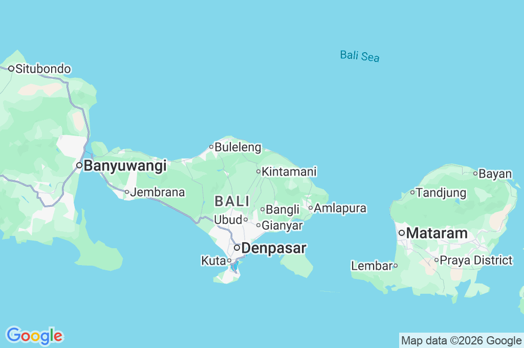
© Open-MeteoInteractive Map - Mount Batur Area
LIVE CAM
Click to Interact
Explore the interactive map
Similar Webcams
Explore other exciting destinations in the same or related category