
YouTube
Perched above the rooftops of Larne, this elevated camera frames the town's sweep down to Larne Lough and the wider Irish Sea. Ferries bound for Cairnryan cross the same waters the camera surveys, while the slender silhouette of the Chaine Memorial Tower rises along the shoreline. On clear days the Scottish coastline is visible far across the water, framed by the green headland of Islandmagee.
Everything you need to know about this live stream
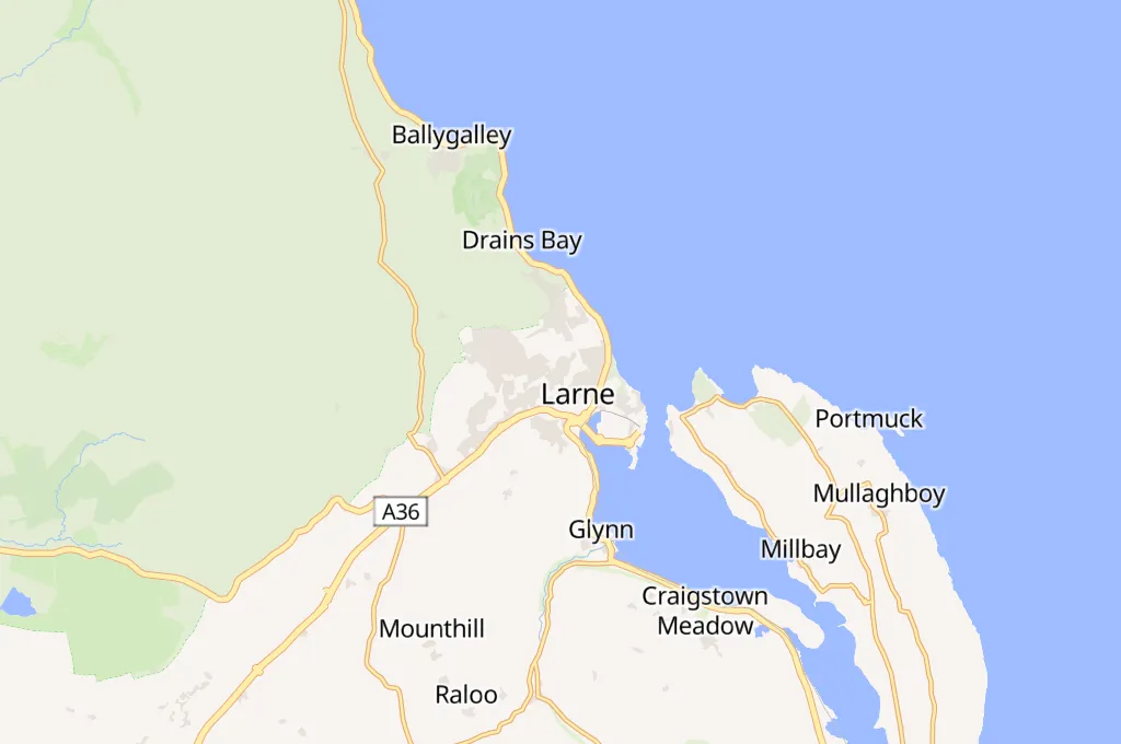
Larne sits on the eastern shore of County Antrim, where the town rises in terraces above Larne Lough, a natural sea inlet that has shaped the settlement for centuries. This camera looks out from an elevated residential vantage point, framing rooftops, gardens, and the wooded slopes that separate the town from the water.
Larne is one of Northern Ireland's principal roll-on roll-off ports, with regular sailings connecting the town to Cairnryan in Scotland across the North Channel. The white sheds of the Caterpillar NI works, visible along the shoreline, are a reminder that Larne has long combined maritime trade with industry.
On the far shore, the slender Chaine Memorial Tower, known locally as "the Pencil", has marked the harbour entrance since 1888, while the historic Ferris Point Lighthouse guides shipping around Islandmagee. Beyond them, the hills of the Scottish coast are sometimes visible across the Irish Sea.
For centuries, Larne has served as one of the shortest crossing points between Ireland and Great Britain, a role the camera captures through its view of the busy lough and passing ferry traffic. The scene changes with the tides and shipping schedules but the town's maritime character remains constant.
Click to Interact
Explore the interactive map
Explore other exciting destinations in the same or related category
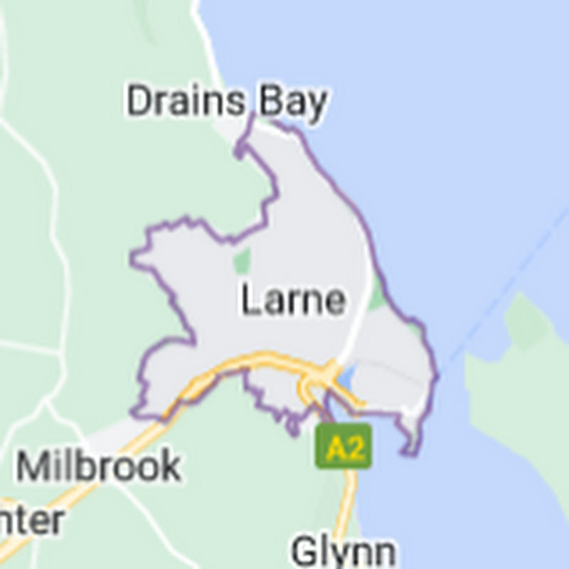 Larne Live Webcam