Highway 16 Black Hills Overlook
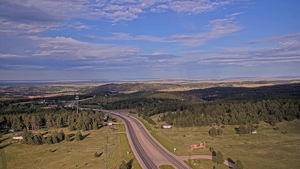
OnlineAn elevated camera surveys U.S. Highway 16 as it carves a path through the pine-cloaked ridges of South Dakota's Black Hills. The divided roadway threads between rolling forested slopes near Rockerville, with distant prairie stretching toward the horizon. It is a sweeping vantage over one of the region's busiest scenic corridors.
About This Webcam
Everything you need to know about this live stream
A Gateway Through the Black Hills
U.S. Highway 16 is one of the principal routes into the Black Hills, linking Rapid City with the mountain resorts and monuments to the southwest. This camera captures the divided highway where it climbs through ponderosa pine forest, a corridor traveled by countless visitors bound for the region's iconic attractions.
Forested Ridges and Open Prairie
The view frames a striking meeting of landscapes: densely wooded slopes in the foreground give way to the rolling grasslands of the eastern plains. The uplifted terrain of the Black Hills, an island of granite and pine rising from the surrounding prairie, defines the dramatic topography on display.
A Community at the Crossroads
Near the highway lies Rockerville, a historic settlement rooted in the gold-rush era of the Dakota Territory. Today it sits along the busy approach to Mount Rushmore and the wider Black Hills National Forest, a small community framed by the surrounding wilderness.
Traffic and Travel
Beyond its scenery, the feed offers a practical look at highway conditions for travelers crossing the hills. Vehicles trace the winding lanes below, making this a useful vantage for anyone monitoring the flow along this scenic transportation corridor.
Location Details
Rockerville
Rockerville, Pennington County, South Dakota, United States
North America
Timezone
Denver
America/Denver (UTC6)
GPS Coordinates
43.9580°, -103.3585°
Current Weather
© Open-MeteoInteractive Map - Rockerville Area

LIVE CAM
Click to Interact
Explore the interactive map
Similar Webcams
Explore other exciting destinations in the same or related category