YouTube
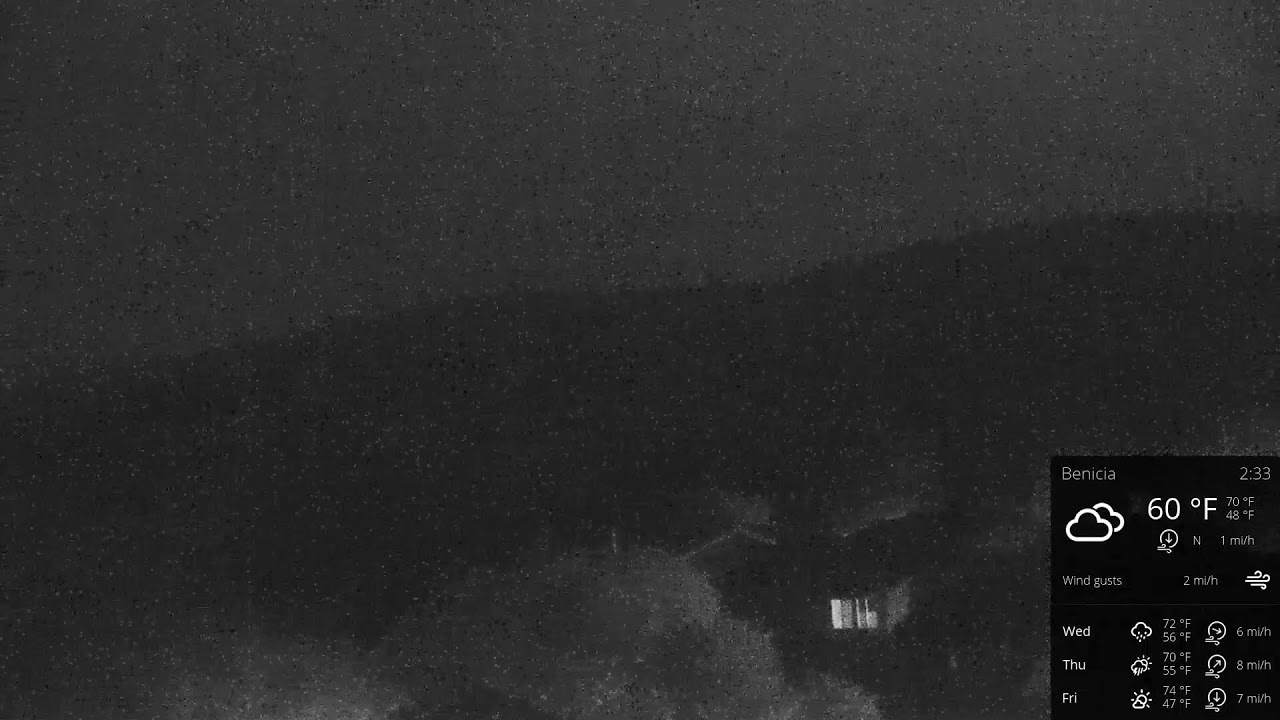
Perched high above Benicia, this hilltop camera looks out over the rolling ridgelines of Solano County toward the Carquinez Strait, where the San Francisco Bay narrows into the Sacramento River delta. The wide, open vantage catches the steady onshore winds that make the ridge a favorite launch point for local paragliding and hang-gliding pilots, with the camera aimed roughly north-northeast across the hillside.
Everything you need to know about this live stream
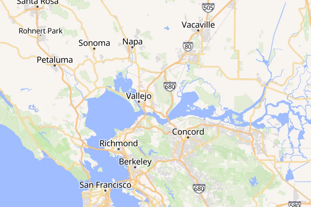
The camera sits atop Channing Hill, one of the low ridgelines that ring the city of Benicia in California's North Bay. From this elevated post the ground falls away toward the Carquinez Strait, the narrow tidal channel where the waters of the San Francisco Bay meet the Sacramento River, and the view stretches across a patchwork of golden grassland and scattered oak woodland typical of the region.
Channing Hill's exposed ridge and dependable onshore winds have long made it a favored site for local paragliding and hang-gliding pilots, who rely on the ridge lift generated as bay breezes push up its western face. The camera itself faces roughly north-northeast, tracking the same air currents that carry flyers along the ridge.
Alongside the live picture, an on-screen panel reports real-time wind speed, gusts and temperature for the hilltop, turning the feed into a practical tool for anyone planning a flight or simply curious how the breeze off the strait is behaving at this moment.
Click to Interact
Explore the interactive map
Explore other exciting destinations in the same or related category
 Tristan Horn