YouTube
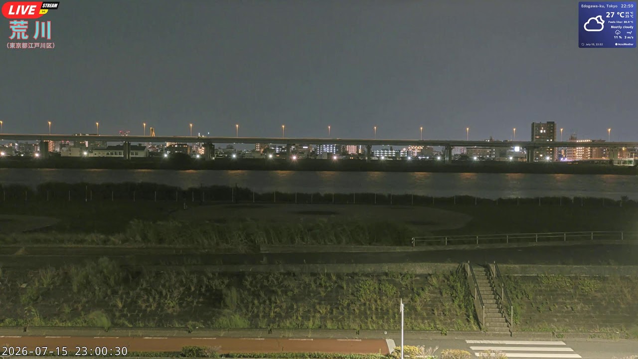
This live camera frames a wide bend of the Arakawa River along Tokyo's Komatsugawa embankment, where a grass-topped levee slopes down to rows of riverside baseball diamonds. An elevated expressway arcs across the water in the distance, its lanes threading between the Edogawa and Koto banks against a dense skyline of apartment towers.
Everything you need to know about this live stream
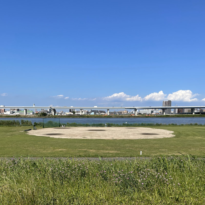
A broad, grass-topped levee rises along the eastern bank of the Arakawa River at Komatsugawa, part of the wide flood-control corridor that runs the length of Tokyo's largest river. Wooden staircases climb the sloped turf down to a paved riverside path, while rows of baseball diamonds occupy the flat kasenjiki grounds below, a favorite gathering spot for local leagues.
An elevated expressway viaduct spans the river in the middle distance, carrying the Shuto Expressway's Central Circular Route on tall concrete piers. Streetlights trace its gently arcing deck from bank to bank, and a steady stream of headlamps and taillights marks the unbroken flow of traffic along one of the capital's busiest ring roads.
Beyond the water, the Koto shoreline rises into a dense skyline of mid-rise apartment blocks and scattered towers, framed by the reeds and low vegetation lining the Edogawa bank. The camera's fixed, wide vantage keeps this whole stretch of river, embankment, and skyline in view, an unbroken window onto eastern Tokyo's flood plain.
Click to Interact
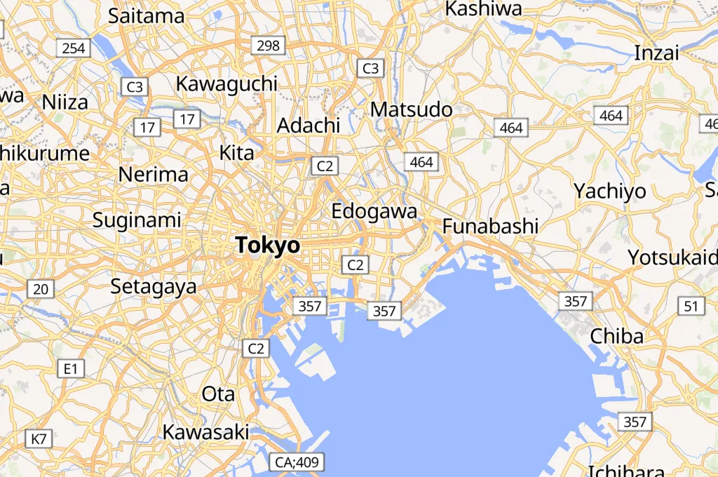
Explore the interactive map
Explore other exciting destinations in the same or related category
 荒川 土手 河川敷グラウンド ライブカメラ