Aomori Airport Apron & Runway
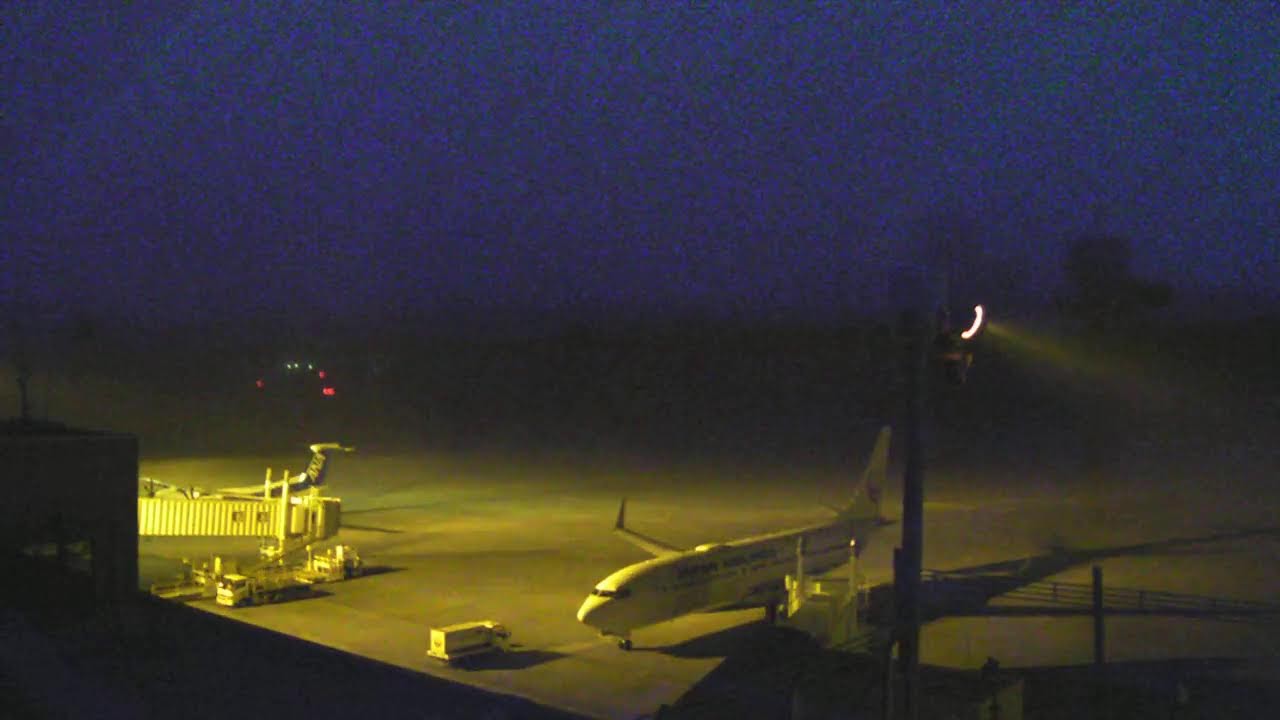
OnlineThis camera overlooks the apron and single runway of Aomori Airport, the main air gateway to the northern tip of Japan's Honshū island. Ground crews, baggage tugs and service vehicles work the tarmac beside the terminal's boarding bridges, while regional and domestic aircraft taxi and depart. Beyond the perimeter, forested plateau and a distant mountain range frame this elevated highland aerodrome.
About This Webcam
Everything you need to know about this live stream
The Airport Apron
The foreground is filled by the concrete apron where aircraft park at the terminal's jet bridges. Pushback tugs, baggage carts and fuel vehicles move between the stands, giving a close look at the choreography of ground handling at a busy regional hub.
Runway and Operations
Beyond the apron stretches the airport's single 3,000-metre runway, used by domestic services and seasonal international flights. Watch jets line up, accelerate and lift off toward the horizon, with the control tower and navigation aids marking the airfield's edge.
The Surrounding Highlands
Aomori Airport sits on an elevated plateau roughly 200 metres above sea level, ringed by dense forest. A mountain range rises along the far horizon, giving the scene its distinctive highland backdrop.
A Gateway to Northern Japan
As the principal airport serving Aomori Prefecture, this is the main aerial entry point to the northern tip of Honshū, linking the region to Tokyo, Osaka and beyond. The view captures the rhythm of a vital transport link for one of Japan's most scenic northern regions.
Location Details
Aomori Airport
Aomori, Aomori Prefecture, Japan
Asia
Timezone
Tokyo
Asia/Tokyo (UTC+9)
GPS Coordinates
40.7355°, 140.6904°
Current Weather
© Open-MeteoInteractive Map - Aomori Airport Area

LIVE CAM
Click to Interact
Explore the interactive map
Similar Webcams
Explore other exciting destinations in the same or related category